


Updating
Links have been checked most recently in March, 2023 but it is always likely to have errors due to websites, even official ones, changing with no prior warning. Information about broken links is always welcome. Most of these pages were written several years ago. I try to keep them updated. In doing so, I amend or remove text that seems less relevant now than when first written.
World Meteorological Organisation

WMO co-ordinates the activities of all national weather services but does not, itself, issue forecasts. However, they do maintain the World-Wide Met-Ocean Information and Warning Service, WWMIWS. This includes the Severe Weather Information Centre. This has a link to the Meteoalarm � Alerting Europe for Extreme Weather EUMETNET METEOALARM service. These are useful resources for sailors providing quick looks at potential problems wherever you are.
Introduction to Frank's Weather Site
Weather determines where we sail to, when we sail there and if we sail at all. This site is a guide to marine weather forecasts and how to use them. Understanding marine weather forecasts and about weather at sea are both essential to safety of vessels and their crews, especially those of sailing yachts and leisure motor boats.
This site applies my long and wide experience in meteorology and sailing to help others to whom weather forecasts, and marine weather forecasts in particular, are mysteries.
Over the years, when I have seen a need, I have added other pages that might be of interest - including the vexed issue of climate change.
A cruising yachtsman�s Viewpoint
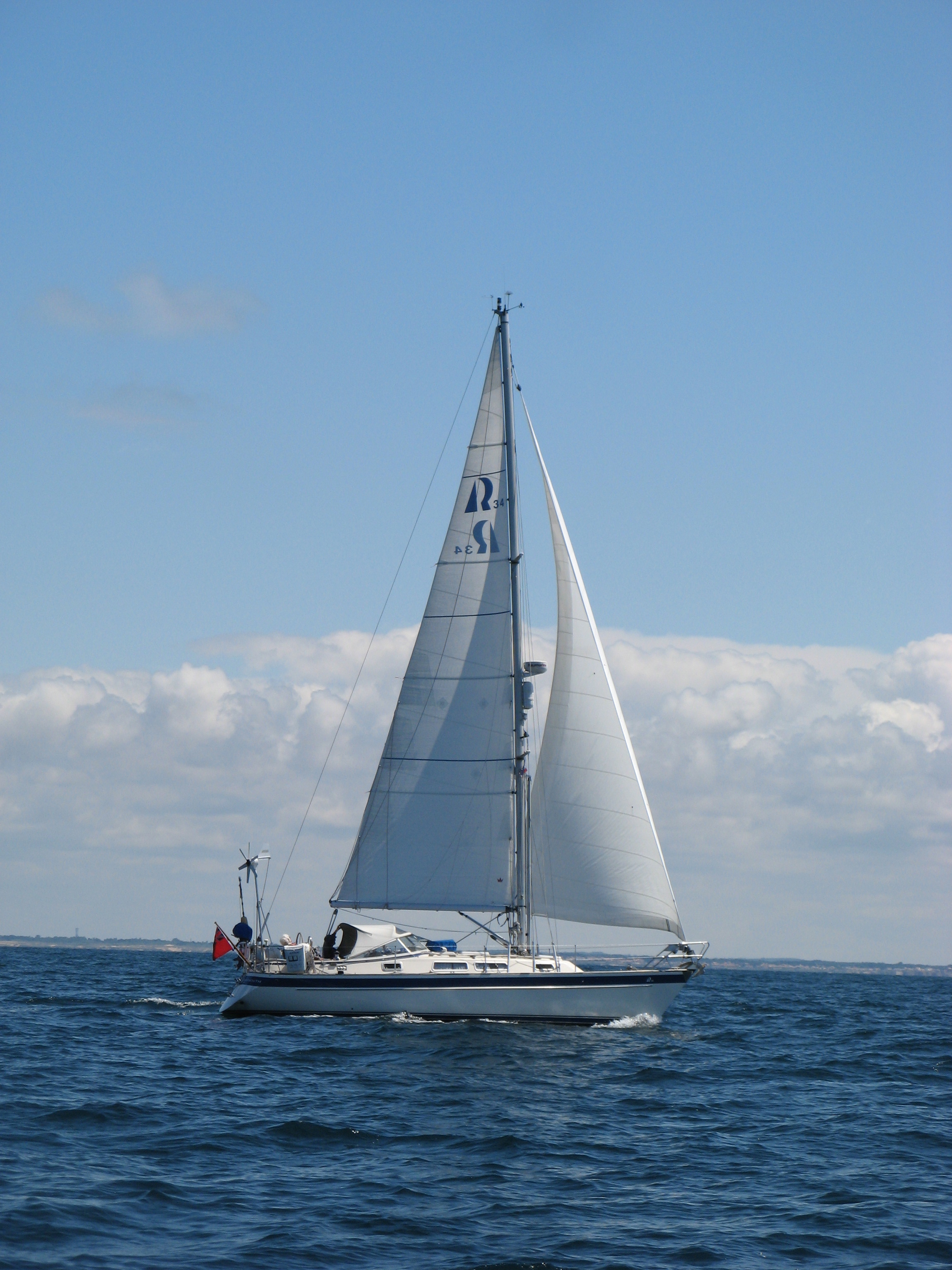
Anhinga on passage from Port Joinville, Ile d'Yeu to Les Sables d'Olonne on 4th June, 2017. Note the line of sea breeze cloud over the coast.
My hyper-critical son, a RS8OO sailor suggests that a little more boom vang tension, perhaps?
(Courtesy of Sue Large, S/V Jinn who was overtaking us at the time.)
To us, in our Hallberg-Rassy 34, Anhinga, cruising is all about sailing enjoyably and safely. That means not getting caught out in strong winds, say over Beaufort force 7. It means being able to decide where we want to be if bad weather is expected and getting there in good time. It is better to be in port wishing you were at sea than being at sea wishing you were in port.
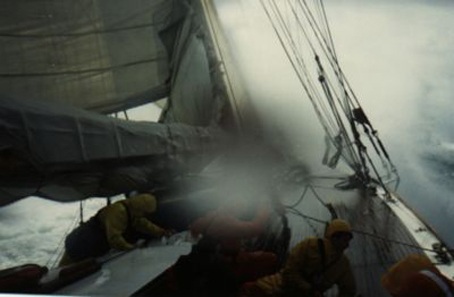
It definitely does not mean really heavy weather sailing as shown here!!!
Sections on this site
The links below and always visible in the Left Hand Sidebar. They will take you to the various areas of this site.
GMDSS Weather Forecast Services
GMDSS (Global Maritime Distress and Safety System) services are available worldwide via VHF, NAVTEX, Inmarsat/Iridium EGC (Enhanced Group Calling) and SSB radio. These pages relate to Europe, the eastern North Atlantic, the Baltic and Mediterranean.
Marine Weather information on the Internet
The Internet is an alternative source of forecasts and a provider of information not covered by the GMDSS. However, it is not an operational service. It will not always be available or it may have high communications costs.
GRIB and eMail services - all you want to know
GRIB files are a valuable weather resource and not always well understood. eMail is one way of getting these and much other weather information.
Information for specific sailing areas
Forecasts and weather in European areas and the Atlantic.
Understanding Marine Forecasts
Getting marine weather forecasts is only the start; understanding and knowing the terminology and how best to use forecasts are the real problems.
What is behind the forecast
Weather prediction, limitations, the data used, and observing the weather.
Understanding Marine Weather
Much of our weather is often rather small scale. Some of these pages challenge conventional wisdom.
Marine Weather Communications
For many, the BBC Radio 4 shipping forecast is all they ever use but there are many other forecasts available - given the right communications and knowledge.
Climate Change
The issues, the arguments, the experts.
General Information, History of meteorology
Beaufort Scale, Meteorological History. I find these pages interesting - and hope that you may do also.
Some basic theory
Coriolis, Formation of pressure differences, why air moves, heating and cooling of the air. The importance of Latent heat.
General Weather and Sailing Links
National Weather Services, other sites, Clubs and Associations, Commercial links.
This page is, effectively a sitemap. Starting from here every page is accessible using no more than two mouse clicks.
Can't find what you want? Try the site search facility -- on the banner head, bottom right