
About this page
A summary of sources of marine weather forecasts broadcast on the Global Maritime Distress and Safety System (GMDSS) as well as being made available by public service radio, Internet, email and on demand.
For quick links to GMDSS schedules, texts of forecasts, weather charts, GRIB file sources, see
Introduction
Long gone are the days when we had only the shipping forecast on BBC Long wave radio or its foreign equivalents. We now have a bewildering array of forecasts from various sources and by a number of different routes.
Broadly speaking, these are:
- Marine VHF/MF Radio
- NAVTEX, Inmarsat, Iridium
- HF/Single Sideband radio
- Public service radio
- Internet
- Marinas
- Media
- Resources
These are described briefly on this page and followed by A list of useful resources, mainly on-line.
There is considerable overlap in that the same service can be obtained by more than one route with the Internet providing the widest range. Taking each in turn -
Marine VHF and/or MF
Under the Global Marine Distress and Safety System, Marine Rescue Co-ordination Centres (MRCC) of most European countries broadcast inshore or coastal forecasts at scheduled times on VHF and/or MF. In all cases the forecasts are produced by the relevant National Weather Service (NWS). Forecasts are always, at least, for the next 24 hours and usually have an outlook. The period of outlook varies from country to country.
Being produced by forecasters who know the area and have the best data available, these should always be used. Some countries broadcast in English as well as their national language. When this is not the case, it is always worthwhile making the effort to learn enough of the terminology. Ease of use varies with the country; the French are particularly good, others eg the Spanish are less so.
")
NAVTEX and Inmarsat-C and Iridium
NAVTEX is the principal method for dissemination of Marine Safety Information; it is a system for broadcasting text over radio. This requires a dedicated, fairly low cost, receiver eg NASA. Furuno, McMurdo .
")
On NAVTEX 518 kHz, MRCCs broadcast texts of forecasts for "Sea Areas" as used in such as the BBC Shipping forecast ("Bulletins au large" in French.) These forecasts are always in English and, again, produced by the NWS. They should cover 24 hours with a brief 24 hour outlook although not all countries conform. The UK, alone, produces extended range forecasts for 3 to 5 days ahead on this frequency. There are usually two forecasts a day.
NAVTEX 490 kHz is used for national purposes. Mostly, this is for national language versions of the 518 kHz broadcasts. An exception is the UK which broadcasts inshore forecasts and some coastal actual reports.
Inmarsat-C is, in some senses, an open ocean version of NAVTEX. The areas used in the forecast may be considerably larger than on NAVTEX ("Bulletins au grand large" in French.) Reception is roughly betwee latitudes 65 deg N/S, the footpring of geostationary satellites.
Iridium also provides GMDSS MSI but from satellites in near-polar orbit, so covering polar regions. Speeds are higher then for Inmarsat-C
HF/Single Side-Band Radio
SSB radio is used in three ways.
- First there are voice broadcasts of forecasts. These will usually be the same texts as on NAVTEX or Inmarsat-C.
- Secondly, there are charts broadcast on Radiofacsimile by the German Weather service (DWD) or by the Royal Navy. These need a computer interfaced with the radio.
- Thirdly, there are forecasts in text on Radioteletype from the DWD. Some of these are inshore forecasts around Germany, some are sea area forecasts. The most useful service is of wind, sea state and sometimes weather at a few grid points from the German weather prediction model. These are for up to five days ahead.
To receive charts, the usual way is to connect the radio to a computer and use decoding software. For RTTY, again a computer and decoding software is required or the NASA Weatherman.

Public service radio on MW and LW.
Few will not be familiar with the BBC Shipping forecast on Radio 4. Other countries have similar broadcasts although as DAB use increases these services will get fewer. Further, BBC LW is under threat.
The Internet
This is an Aladdin's cave of weather information available in Internet cafés, via WiFi, 3 & 4G networks, satellite phone and, in a limited sense, over marine HF and amateur radio. For several reasons, it is well worth making the effort to be able to use the service whether in harbour, on a buoy or at anchor and, even when at sea if at all possible. Services available fall into four main categories.
- As a back-up to forecasts broadcast on VHF, NAVTEX, Inmarsat-C, Iridium, HF/SSB radio.
- As a source of GRIB* forecasts, these are usually available free. The most widely used forecast model is the US Global Forecast System available from many sources. There are now other models including from the European Centre for Medium-range Weather Forecasts and the German Met service (DWD).
- Email for those with bandwidth restrictions. This is an effective way of getting GRIB forecasts and can be used for texts of forecasts on web pages.
- As a source of weather charts.
NOTE * Gridded Information In Binary files are output direct from a computer forecast. Using dedicated software they can be translated into charts of vector winds and other parameters. These are examples using Various viewers.
|
A XyGrib display downloaded to a PC using FTP (File transfer Protocol. The same information is available via email. |
 UK N Atlantic-Europe from weatheronline.com |
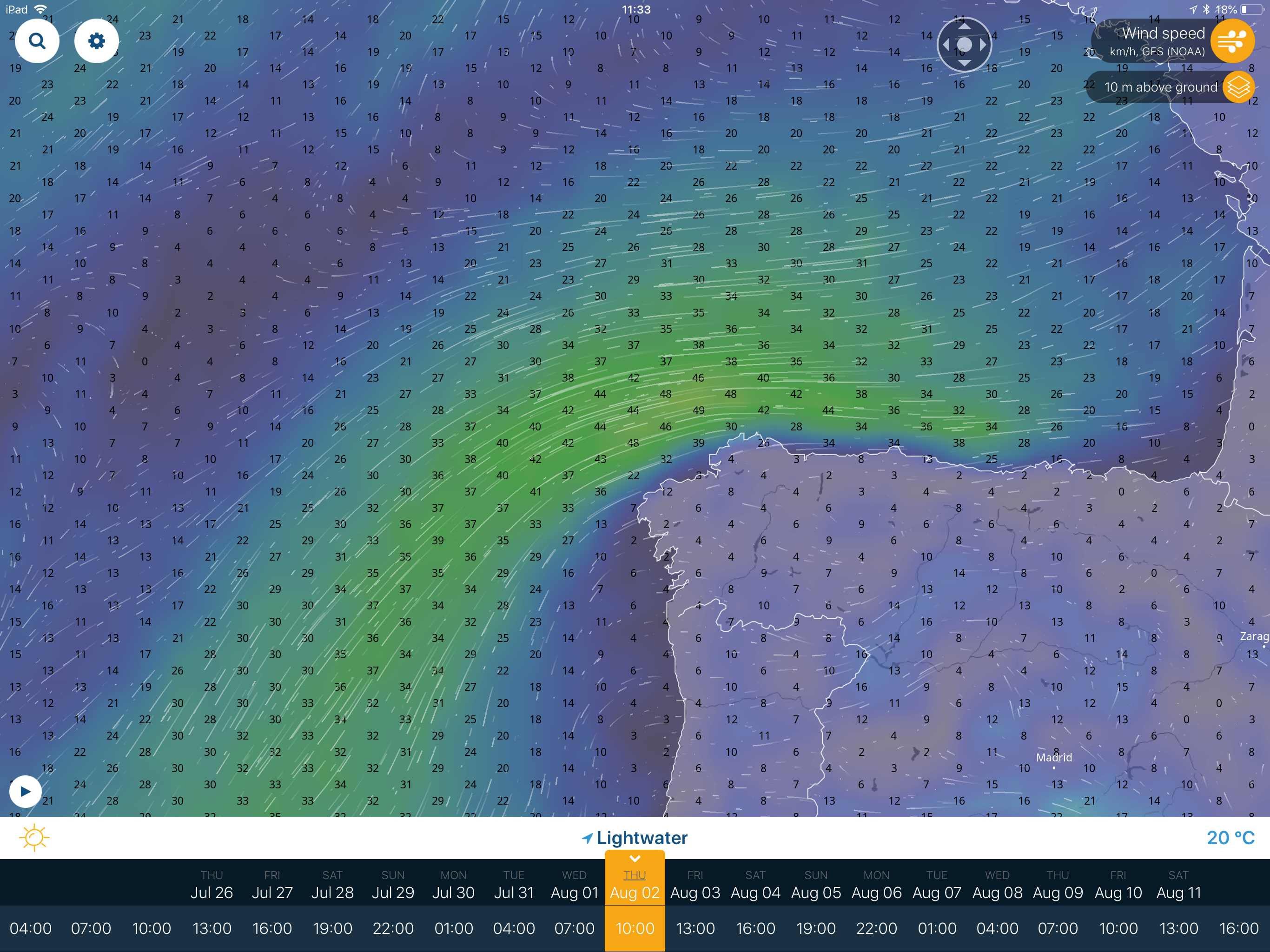
 Grib data can be obtained on tablets and smartphones using any of several Apps. This is the iGrib App display of winds and isobars. |
 GRIB data can also be seen using a browser. This is a display of Passageweather |
 This XCWeather display shows GFS data interpolated to observing site locations |
 Synoptic charts are available. This is from KNMI |
 A good way to see a sequence of forecasts is to use Windy.com |
 Another useful display is Ventusky.com |
 “Raw” computer output such as from the UK Met Office. It shows isobars and an indication of air mass temperature. |
In addition, there are a number of other services such as weatheronline.com, XCWeather.com, Windguru.com, Buoyweather.com. These may look good but are, almost inevitably, simply interpolations from GRIB sources.
Marina notice boards
The value depends upon who has produced the forecast and the diligence of the marina staff in updating. Sometimes, forecasts are transcripts of VHF or NAVTEX broadcasts. Sometimes they are forecasts when there has been some human input eg the Met Office Inshore Waters forecast. In both cases these will have the virtues of those broadcasts. In some cases, they will be taken from forecasts produced entirely automatically. These should not be relied upon for warning purposes. Whatever the source, most important is to check the date/time of issue. It is not unknown for forecasts to be days old or even weeks old.
The Media
This is generally a last resort. Remember that morning newspapers go to bed the previous day, sometimes quite early. Forecasts, inevitably, will be old. TV and radio forecasts are more likely to be up to date but are often aimed at the general land based public. .
Resources
General information
Schedules
- Admiralty Publications - most complete but expensive and bulky.
- Almanacs eg Cruising Association, Reeds, le Livre de Bord (le bloc) etc
More likely to be up to date are online sources.
- MCA- 064 Weather Broadcasts and Maritime Safety Information NOTE Not always up to date.
- Le Guide marine de Météo France in PDF form or hard copy in French marinas.
- European VHF Schedules Gives links to national website pages of schedules.
- DWD radio-fax broadcast
- DED RTTY Schedules Program 1 and Program 2
- WMO List of broadcasts
The following are “Best endeavours” on this site.
- European NAVTEX Schedules
- Marine VHF Schedules for western Europe
- Baltic Weather forecasts
- Mediterranean Forecasts.
- Atlantic Crossing forecasts.
The internet
Most GMDSS forecasts and much more are available online. See the Weather on the internet pages.
This page was developed initially for the Cruising Associations.
See also my pages on using forecasts and on deciding which forecasts to use. These pages were also written initially for the Hallberg Rassy Owners Association.
Return to Home Page