
About this page
Notes on weather forecasts to help those on Atlantic crossings whether going solo, on events such as the ARC.
Related pages
On this page -
- GMDSS Services
- HF Radio
- Radio Fax, RTTY and SITOR
- Texts of GMDSS forecasts
- Marine VHF and Local Radio
- Forecasts by email
- Some Useful Links
Clearly, what you are able to get will depend largely on the equipment carried. Long distance blue water sailors that I know carry SSB radio (as both marine and radio amateur operators), Iridium phone, NAVTEX and INMARSAT. Increasingly. Use will be made of satellite technology.
GMDSS -Inmarsat and NAVTEX
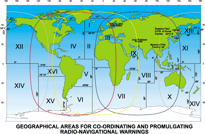
The definitive Marine Safety Information services are via Iinmarsat SafetyNET and NAVTEX. For this purpose the world is divided into METAREAs (aks NAVAREAs), the UK, France and the USA are responsible for NAVAREAS I, II, III and IV respectively.
World-wide, NAVTEX schedules can be found in detail on the ICS site. safetynet Areas used in the forecasts and schedules can be found in ALRS. For the Eastern Atlantic, details can be found in Guide Marine de Météo France, available at French marinas.
Comprehensive information on the Inmarsat will be found on the US NWS site at US NWS INMARSAT products. There is a US NWS page on NAVTEX Maritime Safety Broadcasts.
NAVTEX coverage is good from Lagos to the Canaries. The Azores station is reputedly a strong signal with a range of about 500 miles.
MF/HF Radio
Without Inmarsat, it is possible to receive texts for NAVAREA II, once a day at 0930 UTC from Monaco Radio. Frequencies: 8 806 kHz, 13 152 kHz, 17 323 kHz, 22 768 kHz, all USB. Broadcasts are in slow and very clear French followed by English.
It is worthwhile studying some texts before departure in order to get used to the form and format of the broadcasts. The French is always very clear and slow enough, even for non-French speakers. A list of many of the terms used can be found at the Weather Terminology used in Broadcasts by CROSS.
Details of Spanish MF radio schedules and areas covered are on the AEMet site.. There are broadcasts also from Portuguese stations at Porto Santo and Horta (Azores) - see ALRS.
Around Cuba and the Bahamas there are MF and HF broadcasts - see ALRS.
On the High Seas, US HF Radiotelephone. Weather forecasts and warnings are broadcast over scheduled HF radiotelephone channels from US Coast Guard Communication Stations. Near the coast there are USCG MF transmissions..
The USCG Marine Forecast Products page has a listing of broadcasts and texts. for HF, MF and NAVTEX stations.
Stations likely to be useful are shown below.
US MF Stations
|
USCG Group |
Time (UTC) |
|
Cape Hatteras NC |
0133, 1303 |
|
Fort Macon NC |
0103, 1233 |
|
Eastern Shore VA |
0233, 1403 |
|
Hampton Roads VA |
0203, 1333 |
|
Atlantic City NJ |
Texts of Inmarsat, HF and NAVTEX broadcasts
For the latest texts of Atlantic INMARSAT, HF/SSB radio and NAVTEX texts, use links go to the WWMIWS site, specifically
Alternative sources are on my pages of this site. The Météo-France Menu page
HF Radiofacsimile and RTTY/SITOR
Weather charts are broadcast by many nations. On our side of the Atlantic there are linka to tecxts on this site. For the western side see the Atlantic, see the US Radiofax schedules.
Radio teletype broadcasts are available for the Eastern Atlantic down to the Canary Islands from the DWD RTTY 1 nad DWD RTTY 2. Large parts of the Atlantic (and Pacific) are covered by the U.S. Coast Guard SITOR broadcasts.
These broadcasts are prepared co-operatively by the Marine Prediction Center, Tropical Prediction Center and Honolulu Forecast Office. Offshore and coastal forecasts are available in areas such as Alaska. The International Ice Patrol also broadcasts from Boston sharing the same transmitters.. Transmission range is dependent upon operating frequency, time of day and atmospheric conditions and can vary from only short distances to several thousand miles.
MRCC/MRSC VHF
VHF broadcasts from Spanish stations are available giving forecasts as far as 20 deg S. Schedules and channels are to be found on my Marine VHF page. For texts see my SW European GMDSS page.
For information on US Stations broadcasting on Marine VHF see the National Weather Service site. Texts are on the US NWS Marine Text forecasts and Products Listing page.
Continuous broadcasts on VHF are updated every 4 hours or so (162.4 MHz). There are stations in the USVI (Ch 28) and Puerto Rico (Ch 22). There is also a station in the Bahamas on Ch 27 (every odd hour UTC)
Local Radio
NWS local radio services abound in the US. In the Caribbean, Radio Antilles (930 kHz) is the main source of weather for local sailing, (I assume that it still operates). General forecasts at 0530 and 1215 LT, Marine forecasts at 0830 and 1825 LT.
Forecast texts and charts by email
Probably the easiest way is to use Saildocs for GRIB files and text retrievals from web pages. Or the MailASail equivalent. This is likely to be the case whether you are using SSB radio or Iridium phones for your email connections to the Internet. see my email page . Alternatively, use this site WMO sponsored Internet site maintained by Météo-France. This site gives very quick downloads, even over mobile or satellite phones.
There is also a MailASail Chart service/ Synoptic charts can be received cheaply even over satellite telephone. in small compressed files.
Useful Sites
A list of some of those mentioned above.
William Hepburn's pages. A very useful listing of Radio, RadioFax, Radioteletype, NAVTEX stations.
ICS site. Good page of NAVTEX stations.
US National Weather Service Home page
Tests of all US Marine forecasts
Marine Forecasts The Home page of the of the US National Weather Service.
US Radio-Fax Marine Charts . The latest version of marine weather charts for broadcast by the U.S. Coast Guard are available from the National Weather Service Telecommunication Gateway on this server. The listed charts are in the G4 (T4) format and enveloped in TIFF for viewing.
US NAVTEX Maritime Safety Broadcasts
le Guide Marine de Météo France
For VHF, MF, HF, NAVTEX schedules and frequencies. Internet links to charts and text forecasts.
The Spanish Met service site . Similarly, but not quite as comprehensive, for Spanish stations.