
What this page is about
Why forecasts are not and cannot be �accurate� or "precise."
Preamble
There are three reasons why weather forecasting is not and never can be exact.
- Data analysis uncertainties
- Model limitations
- Chaos
Related pages
- MCA figures on "accuracy" of Inshore Waters Firecasts
- Data used in NWP
- Examples of GRIB forecasts shown against the outcome
On this page -
- Forecasting today
- Computers used in forecasting
- Predictability and Chaos
- Large Scale prediction
- On the Small Scale
- Communication of the forecast
- Final thoughts
Data analysis
The observational data used in NWP come from many different sources, terrestrial and space based. They have different characteristics in the way that they represent the atmosphere. There is no unique way in which these can be analysed to know precisely what is happening at the present time. The large scale patterns will be well defined but detail will always be uncertain. This feeds into the problems of modelling and chao,. itself a limiting factor.
Numerical Weather Prediction
Global weather prediction is necessary partly because weather cam move quickly over large distances. More importantly, there are long distance effects:
- A strong NW airstream over the west of North America can create a SW flow over the western Atlantic and this, in turn can cause a NW flow over the Eastern Atlantic.
- El Ni�o and La Ni�a not yet understood (by me, at least) have effects on UK weather.
NWP) depends on knowing what is happening now and that, as we have seen, is uncertain in detail.
But, even if we had a perfect data analysis, computer power would be another major limiting factor. Because computers are puny compared to the atmosphere there have to be many approximations made and many estimates fed into the equations.
Computers
To put computer speeds into perspective, the Cray 1, installed at ECMWF in 1980, used 115 kW of power, was cooled by liquid freon and was capable of 250 million flops.

This Nokia 6300 cell phone introduced in 2007, uses 1.5 W and is capable of 237 million flops.

In 1950 the UK Met Office had a state of the art computer capable of 3000 flops (floating arithmetic calculations per second ie additions or subtractions of numbers like 4.1468 x 10⁴ ). By 2014 computer speeds have increased by a billion time.
That sounds tremendous � and it is. However, the atmosphere is far more powerful. Some computer engineers doubt that we will ever match the atmosphere.
Predictability and Chaos on the large scale
The butterfly effect?
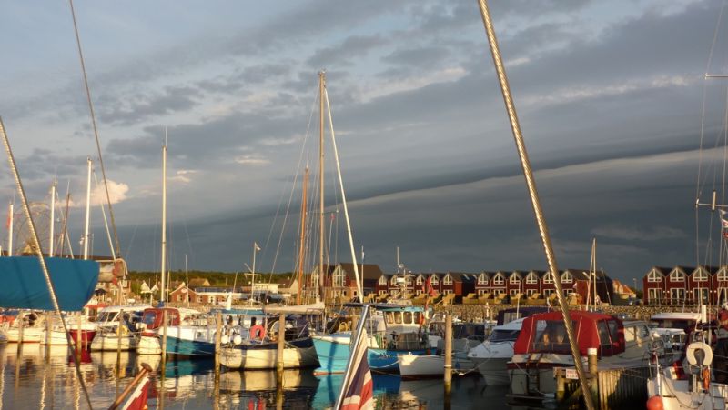
It has been suggested that a butterfly flapping its wings in Tokyo can create a storm in New York. This cannot happen, but small weather features can grow into large systems over periods of a few days. Examples are:
- Fontal depressions affecting Europe start as small waves off the eastern sea board of North America. But when and where the next wave will form is part of the chaos.
- North Atlantic hurricane start as groups of showers, often near the Cape Verde islands. Very small differences in initial position and surrounding conditions can lead to markedly different behaviour.
And a specific example:
- In 1987, Mike Fish famously said , � there will not be a hurricane.� That storm resulted from some warm, moist air becoming embroiled in a low approaching the English Channel. The sudden release of vast amounts latent heat as the air was lifted and cooled caused the explosive deepening and strong winds..
The effects of a small wave just forming cannot last beyond about two weeks. Skill will decrease becoming zero after 15 days. Another way of looking at its is that �the atmosphere has no memory of detail more than 2 weeks ago.� Diagrammatically -

Up to a few days, skill will be appreciable although forecasts will not be completely reliable. By six or seven days skill will be less and forecasts rather hit and miss. By 15 days there will be no skill at all.
On the Small scale
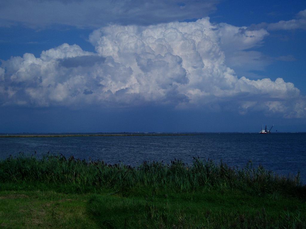
While large scale weather systems have lifetimes measured in days, small features may last minutes or hours. On the smallest scale, gusts can only be predicted when they are about to hit us. Al approaching squall line can be seen but until it hits there is no way of knowing how strong the wind will be.
Showers are a form of chaos. Although they can be predicted well in general terms, it is not possible to say where and when a shower cloud will form. Clouds lie this may have a total lifetime of no more than six hours.
Even if such events could be predicted, their lifetimes are so short that by the time forecast could be produced and disseminated, much of the detail would have disappeared,
Communication
However good forecasting is, there will always be the problem of communication with the user. To get a feel for this, anyone who criticises forecast texts should do a little experiment. Sail along a coast for 12 hours, say 6 one way and 6 back. Note all the weather and winds. Then try to describe them in a text that could be heard or read easily and understandably. Then imagine doing that for a length of coast from Lyme Regis to Lands End for 24 hours with all the uncertainties of a forecast and bearing in mind all the local coastal effects, headlands and such like.
Finally
Do not believe such claims as
....exceptionally accurate
....high-resolution
....precise high quality,
Incredible detail....
....down to 1km resolution
Take all such with a big pinch of salt. Remember that little is absolutely certain in any weather forecast, except for the date. Even then you must keep the theologians apart.
Weather forecasting will improve but will never be perfect.
More Information
Met Office links to more information about weather prediction -
Forecasting for a few days ahead